What Your Property
Looks Like From
Where Decisions
Are Made.
Cinematic aerial photography for commercial real estate, construction sites, and events — delivered in 48 hours.
Three Bands.
One Complete
Picture.
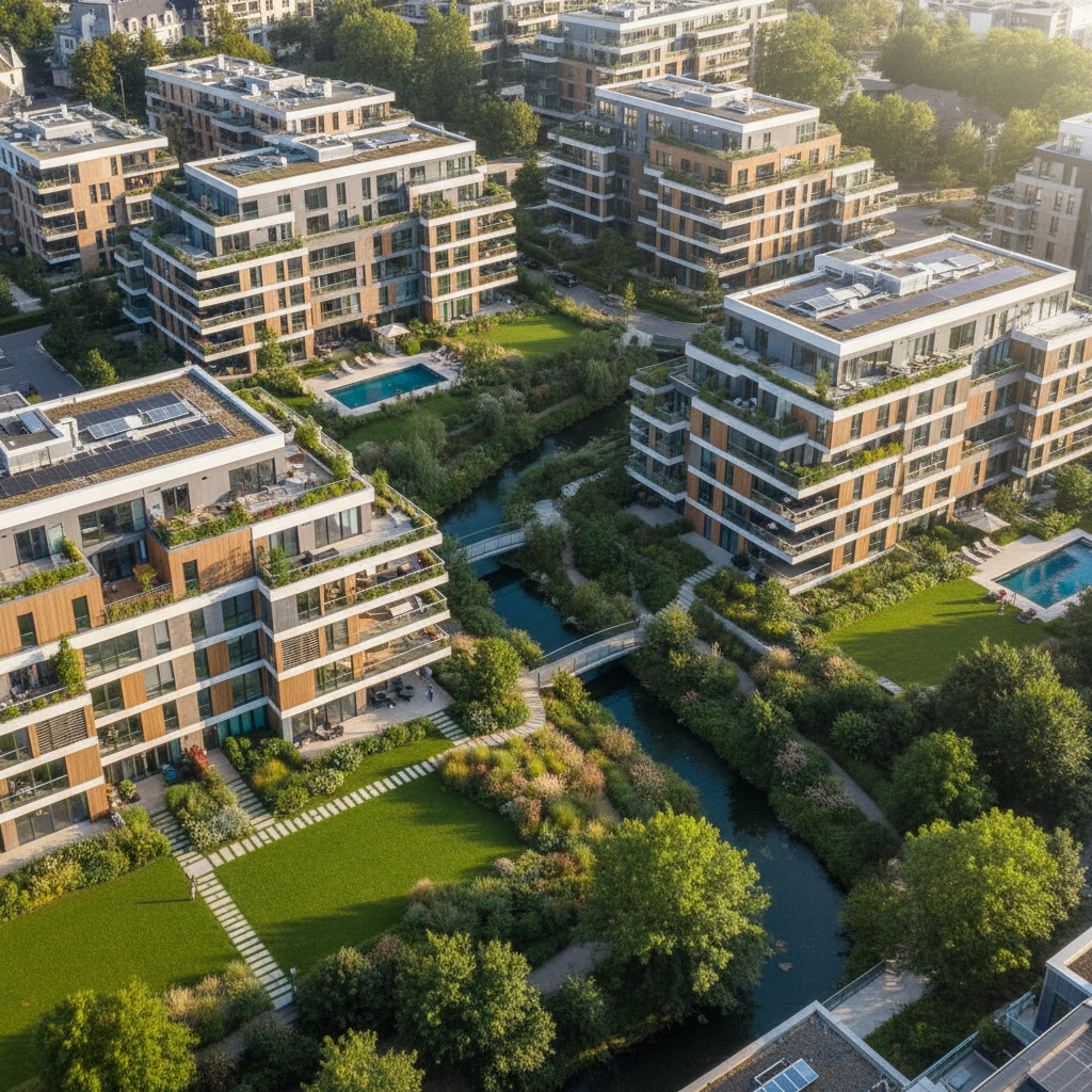
Context & Character
Low-altitude passes that capture facade detail, landscaping context, and the human scale of a property. The perspective a broker needs to establish place.
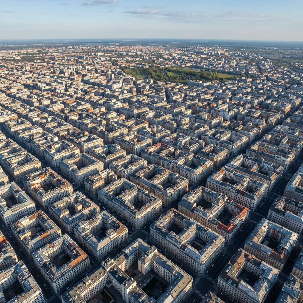
Pattern & Geometry
Mid-altitude compositions where structures shed their facades and become pure geometry. Rooftop HVAC arrays become industrial sculpture. Construction grids reveal phase logic.
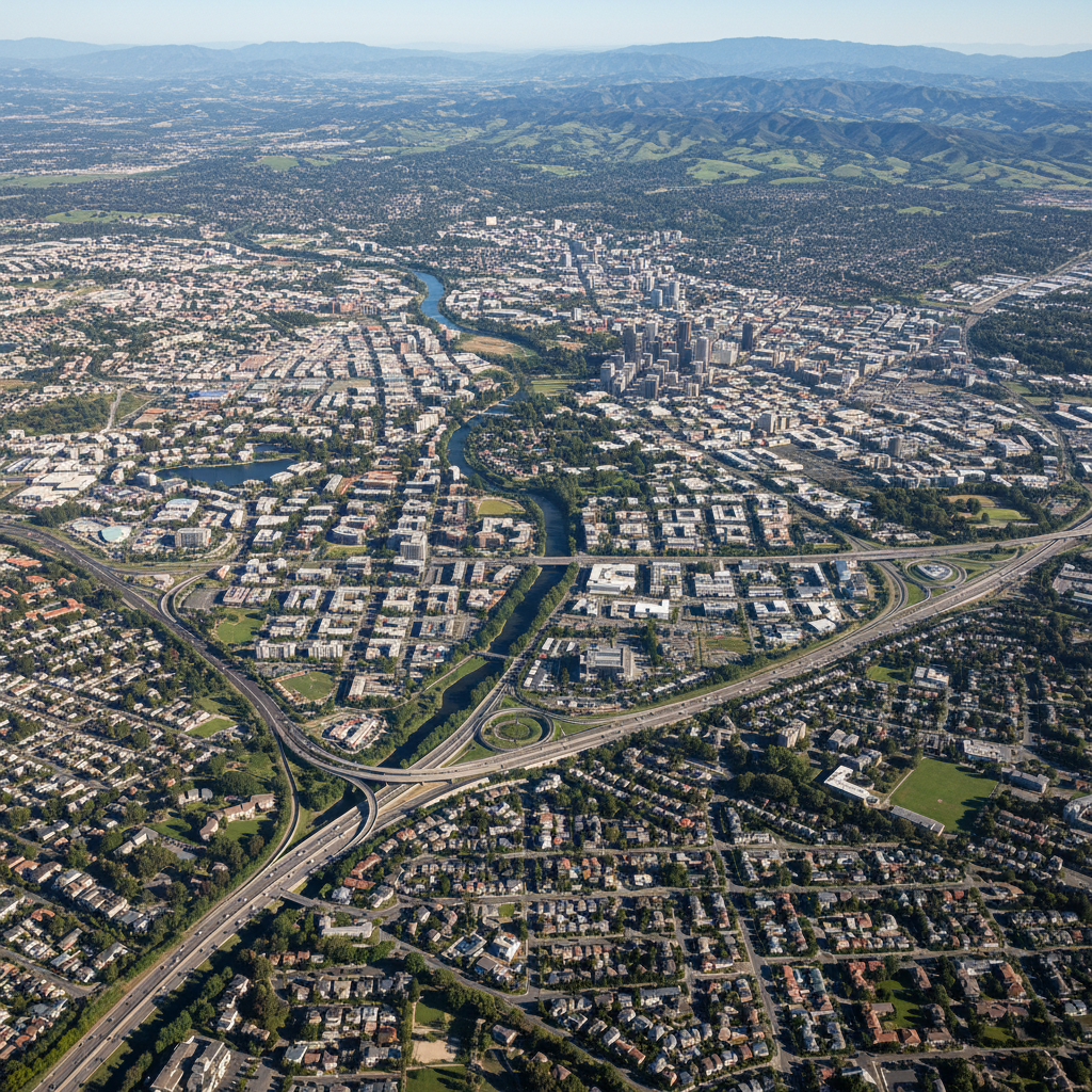
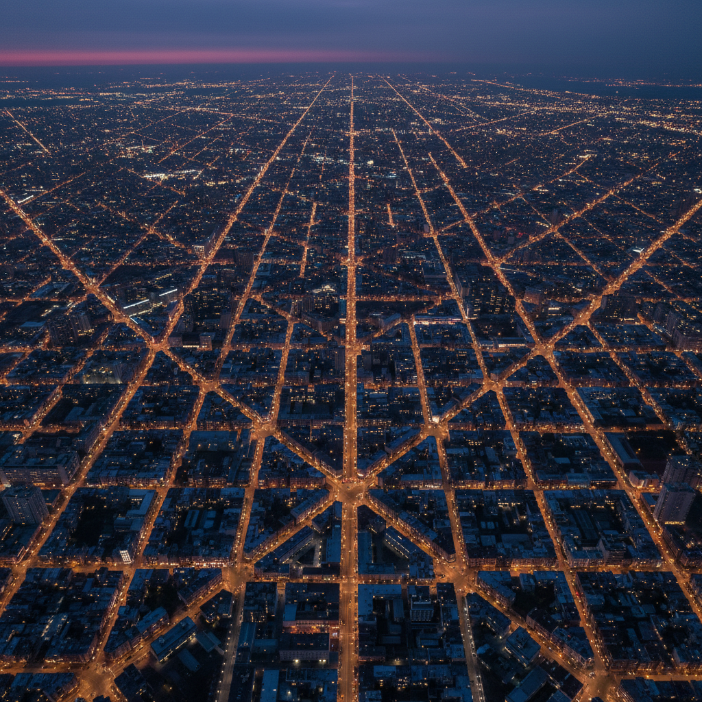
Landscape & Scale
Maximum FAA-certified altitude reveals a development's true context — proximity to transit, waterfront access, competitive landscape. The view that closes the deal in a boardroom.
Three Industries.
One Perspective.
Every client type demands a different altitude story. We know which one you need before you ask.
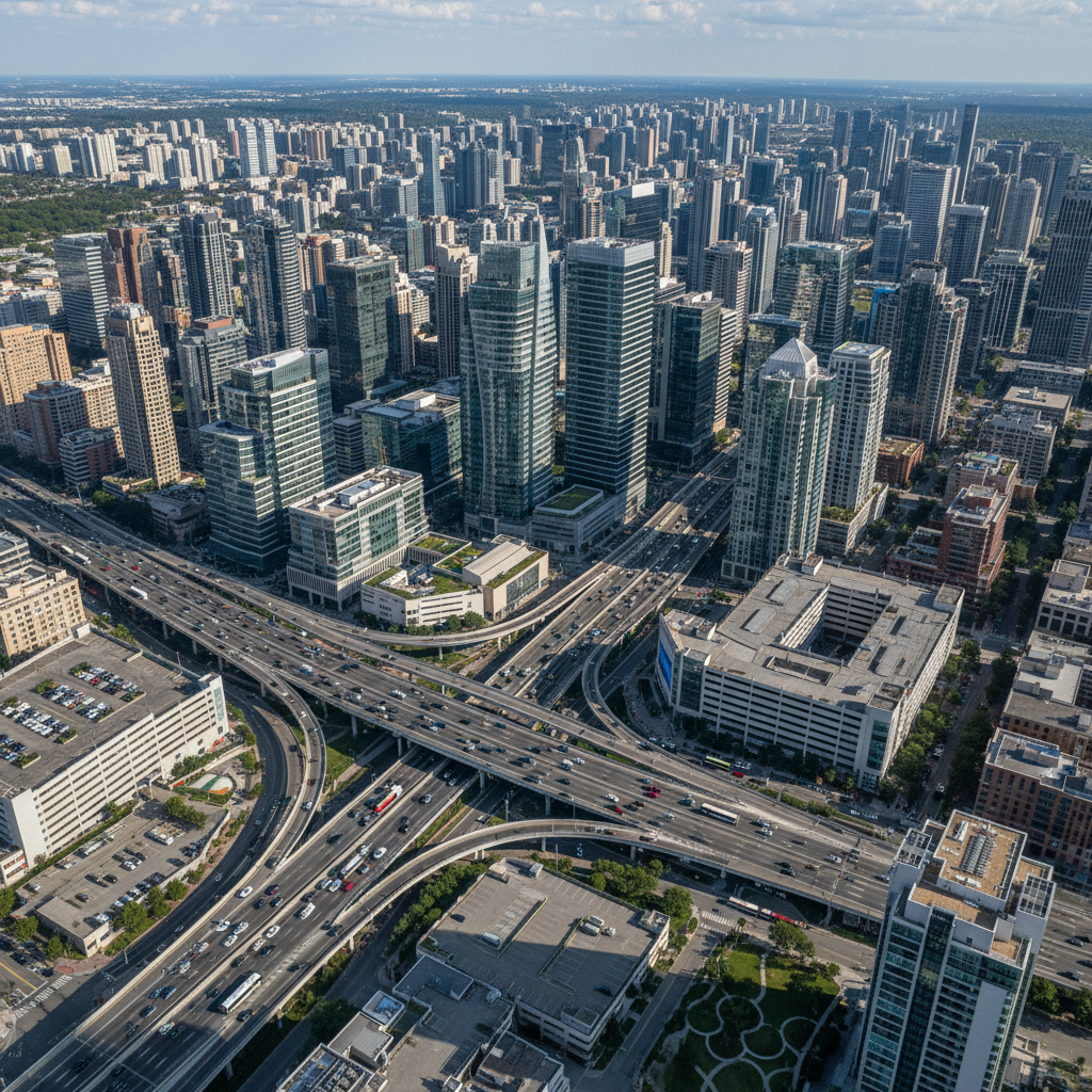
Sell the Skyline, Not Just the Floor Plan
Brokers using aerial photography close 68% faster. We deliver a complete altitude package — establishing, pattern, and overview — that gives buyers the spatial intelligence to commit.
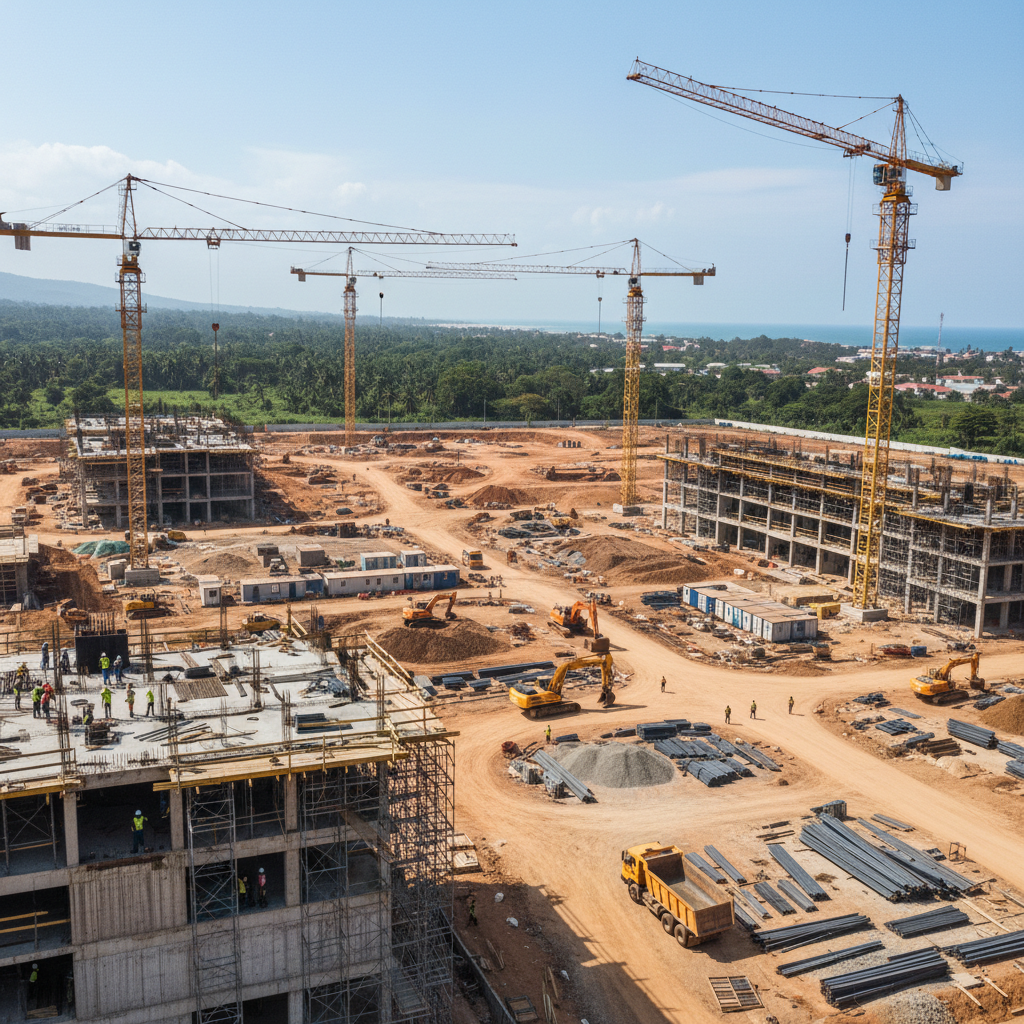
Progress That Stakeholders Can Actually See
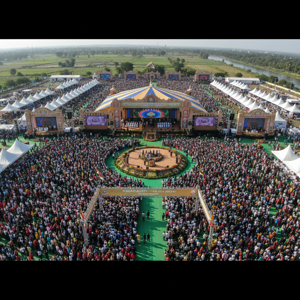
The Shot That Makes a Venue Look Legendary
Results That
Speak at Altitude.
The Altitude team shot our Hudson Yards development at all three altitude bands. The boardroom presentation closed $240M in pre-sales. That single afternoon flight was the best marketing dollar we ever spent.
We run weekly documentation flights on all four of our active construction sites. The GPS-tagged progress imagery has resolved two potential disputes before they became legal problems. It's insurance as much as it is photography.
I needed one shot — the rooftop terrace with the entire Manhattan skyline at blue hour. They nailed it in 20 minutes. That image is now our venue's entire marketing campaign.
Ready to See Your Property
From the Top?
Three quick steps. We'll confirm your flight window within 4 business hours.